Welland Upper Operational Catchment
Water bodies
There are 20 water bodies in this operational catchment.
Filter map layers
Data
Protected Areas
About
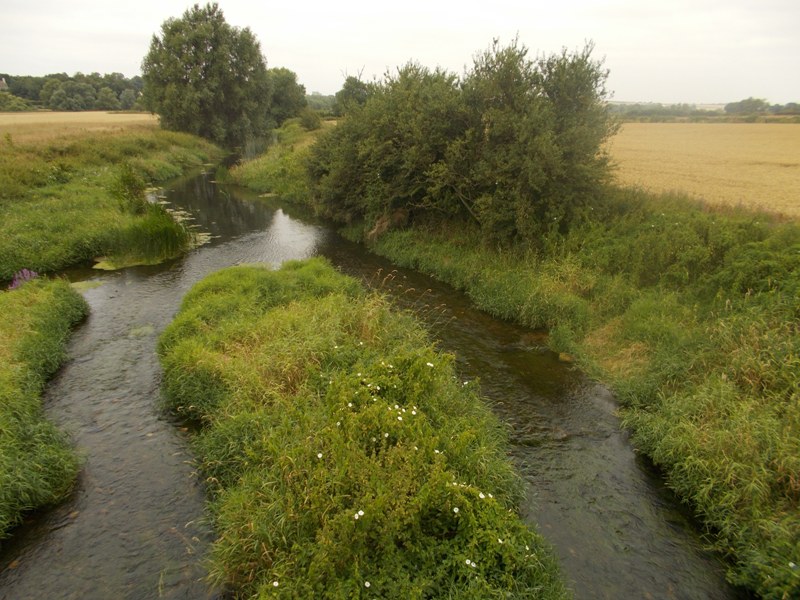
The Upper Welland catchment includes the River Welland and its tributaries upstream of the Gwash / Welland confluence at Stamford, this includes Market Harborough. It is predominately rural with mixed arable and livestock farming. The main Welland has a broad floodplain with steeply sloping bluff lines. The headwaters of the Welland and tributaries are steeply sloping. This operational catchment supplies Rutland Water, an important wildlife and amenity site, but primarily a major source of drinking water. This catchment was heavily engineered to improve land drainage in the late 60s and early 70s. It used to be a popular fishery.