Darent Operational Catchment
Water bodies
There are 2 water bodies in this operational catchment.
Filter map layers
Data
Protected Areas
About
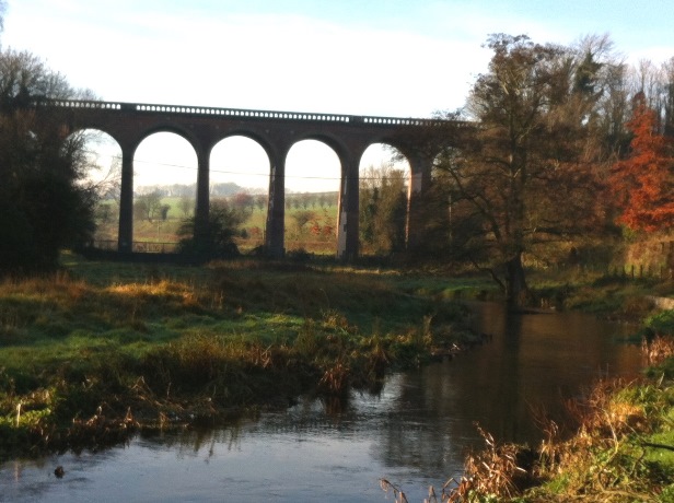
The River Darent is a distinctive chalk river which flows for 21 miles (34km) from the Lower Greensand hills through the North Downs before reaching the confluence with the Thames. The river is a significant feature within the Darent valley landscape. It supports a diverse ecology associated with the chalk habitat. The river has high conservation value but has experienced a long history of modification in order to sustain human activity and is still important to the local community. Restoration of quality chalk habitat, community education and improved land use is key to reaching good ecological status for the catchment.