Handfast Point to Durlston Head 4
General actions for this subsection
There are no actions generic to the whole of this subsection. For actions relating to specific locations, select an area on the map above or use the postcode/location search and click on the Action Plan tab.
All actions are subject to funding and approval, often by other parties than the Lead Organisation shown.
Download SMP documents
The information on this website represents the current SMP management approaches adopted by the local authorities within its area, and current actions needed to deliver them. These management approaches have been approved by the Environment Agency under its Strategic Overview for coastal flood and erosion risk management and are considered to be local policy.
The documents below provide the full SMP adopted locally and approved by the Environment Agency at the time of publication. Some of the information has changed in response to new government policy, new evidence or new work identified.
Data on this page
Main report
Appendices
- Appendix A - SMP Development
- Appendix B - Stakeholder Engagement
Appendix C - Baseline Process Understanding:
- Appendix D - Natural and Built Environment Baseline (Thematic Review)
- Appendix E - Issues and Objectives
- Appendix F - Strategic Environmental Assessment
- Appendix G - Scenario Testing
- Appendix H - Economics
- Appendix I - Estuary Assessment1
- Appendix J - Habitat Regulation Assessment
- Appendix K - Metadatabase
- Appendix L - Water Framework Directive
- Appendix M - Review of Hengistbury Head
- Appendix N - Client Steering Group Approvals
About this subsection
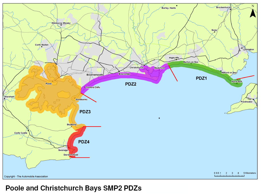
This subsection of the SMP covers the area from the chalk cliffs of Handfast Point to Durlston Head, the softer eroding cliffs of Swanage Bay, the defended town of Swanage, and Durlston Bay. The area is popular with locals and tourists alike from the important landscape setting of Swanage and the important geological value of the coast. It is a popular vantage point looking seaward for cetaceans and bird species as well as its popularity for fossil hunting as part of the Jurassic Coast UNESCO World Heritage Site. Swanage is important for regional tourism and includes leisure infrastructure as well as residential and commercial buildings.
Swanage Bay lies between the two geologically resistant control points of Handfast and Peveril Points. Natural coastal processes are encouraged in Durlston Bay, which is legally protected for its wildlife and geological value and contains a National Nature Reserve.