Training Bank H.5A
Summary management approach
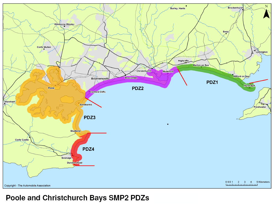
Support maintenance of Poole Harbour entrance in its current position.
Generic approach assigned to this unit
Management approaches depend on funding and relevant approvals and permissions. Adaptation to coastal change may be needed. If defences are present, some risk from flooding, erosion or ground instability may remain.
Time periods (short (0 to 20 years), medium (20 to 50 years) and long (50 to 100)) are approximate and do not signify precise dates of management transitions.
0 to 20 years (2005 to 2025)
HL1Hold the lineMaintain/replace
Where protection is currently provided by coastal defence structures or managed beaches, and the intention is to retain a defence along approximately the current alignment. This will involve replacing defences when needed. Defence type, method and standard of protection may be modified over time.
20 to 50 years (2025 to 2055)
HL1Hold the lineMaintain/replace
Where protection is currently provided by coastal defence structures or managed beaches, and the intention is to retain a defence along approximately the current alignment. This will involve replacing defences when needed. Defence type, method and standard of protection may be modified over time.
50 to 100 years (2055 to 2105)
HL1Hold the lineMaintain/replace
Where protection is currently provided by coastal defence structures or managed beaches, and the intention is to retain a defence along approximately the current alignment. This will involve replacing defences when needed. Defence type, method and standard of protection may be modified over time.
Neighbouring units
The following units are within 1km of this one:
Protected sites
This area of coastline is in or near 3 special protection areas.
Data last updated: 2024-04-17
View Special Protection Area on the Data Services PlatformThis area of coastline is in or near an area of outstanding natural beauty.
Data last updated: 2024-06-29
View Area of Outstanding Natural Beauty on the Data Services PlatformThis area of coastline is in or near a special conservation area.
Data last updated: 2024-04-17
View Special Area of Conservation on the Data Services PlatformThis area of coastline is in or near a ramsar wetland area.
Data last updated: 2024-04-03
View Ramsar Site on the Data Services PlatformThere are no scheduled monuments near this area of coastline.
Data last updated: 2024-04-03
View Scheduled Monument on the Data Services PlatformThis area of coastline is not in or near a local nature reserve.
Data last updated: 2024-06-29
View Local Nature Reserve on the Data Services PlatformThere are 2 sites of special scientific interest near this area of coastline.
Data last updated: 2024-07-26
View Site of Special Scientific Interest on the Data Services PlatformThis area of coastline is in or near a national nature reserve.
Data last updated: 2024-06-29
View National Nature Reserve on the Data Services PlatformThere is a marine conservation zone near this area of coastline.
Data last updated: 2024-04-03
View Marine Conservation Zone on the Data Services PlatformActions for this unit
All actions are subject to funding and approval, often by other parties than the Lead Organisation shown.
| Reference Number | Action Description | Action Lead Organisation | Action Progress Status | Priority |
|---|
Download SMP documents
The information on this website represents the current SMP management approaches adopted by the local authorities within its area, and current actions needed to deliver them. These management approaches have been approved by the Environment Agency under its Strategic Overview for coastal flood and erosion risk management and are considered to be local policy.
The documents below provide the full SMP adopted locally and approved by the Environment Agency at the time of publication. Some of the information has changed in response to new government policy, new evidence or new work identified.
Data on this page
Main report
Appendices
- Appendix A - SMP Development
- Appendix B - Stakeholder Engagement
Appendix C - Baseline Process Understanding:
- Appendix D - Natural and Built Environment Baseline (Thematic Review)
- Appendix E - Issues and Objectives
- Appendix F - Strategic Environmental Assessment
- Appendix G - Scenario Testing
- Appendix H - Economics
- Appendix I - Estuary Assessment1
- Appendix J - Habitat Regulation Assessment
- Appendix K - Metadatabase
- Appendix L - Water Framework Directive
- Appendix M - Review of Hengistbury Head
- Appendix N - Client Steering Group Approvals